

Cruising Guides warn of possible unpleasant conditions when crossing the eastern end of Lake Ontario. It has a long fetch, which means that waves can build when the wind blows from the west. We knew we wanted to leave the swans of Little Sodus Bay early enough to reduce the chance of the Lake throwing any significant waves at us. So the anchor came up early and off we went, heading almost due north to Cape Vincent.
Here's a good summary of what we have done over the past week or so and where we are going over the coming two weeks. On Saturday, the 15th, Brio sped (at 20+ knots instead of her Canal speed of 6 knots) across the eastern end of Lake Ontario from a little west of Oswego to Cape Vincent at the head of the southern route down the Saint Lawrence River.

You can see the distance covered from the initial Waterford Lock, just above Troy, New York, past Utica, across Lake Oneida to Three Rivers and then down the Oswego River to Oswego. The U.S.-Canada boundary is shown as a dog-leg straight line just west of the label "Lake Ontario. It heads just south of the large island at the beginning of the Saint Lawrence River, Wolfe Island. That is where Cape Vincent is located on the New York side of the River.
That's where we spent Saturday night after the 45 nm crossing of the Lake.
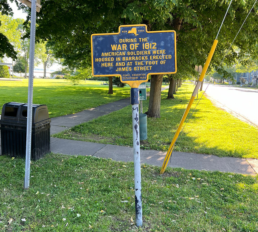
Cape Vincent saw fighting during the War of 1812 as the British and the Americans tried to sort out the US - Canada border. (Canada was still a UK colony.)
This is a mural of a ship-of-war sailing past Tibbetts Point Lighthouse just southwest of Cape Vincent.

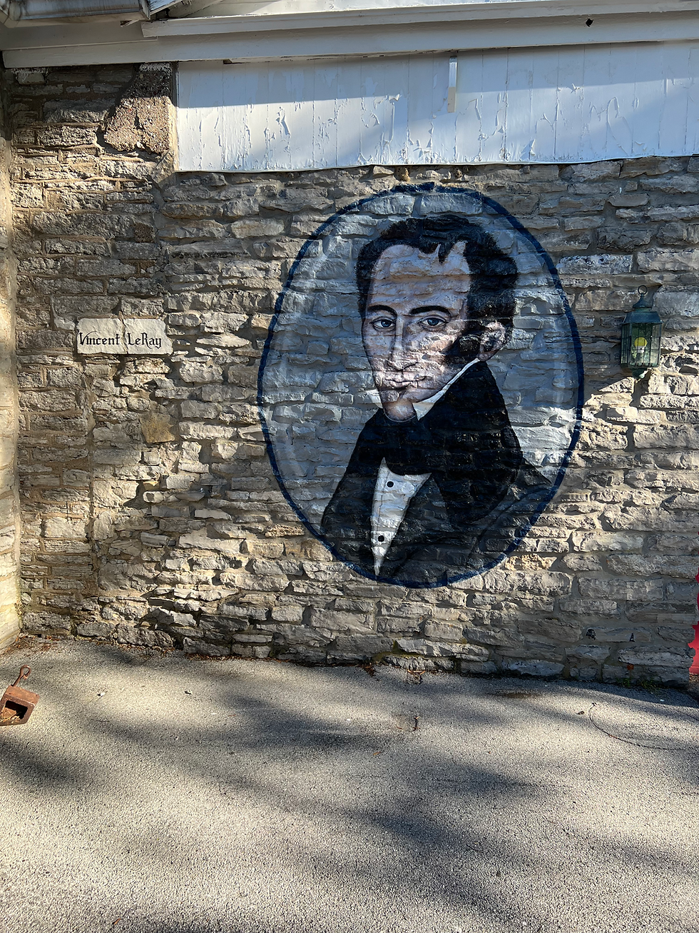
The Cape Vincent Museum doesn't open until July 1, but you can see the exterior which features a painting of Vincent LeRay who settled Cape Vincent. A close look at the limestone building stone shows the fossil broken shells from earlier (Ordovician?) settlers.

There is a one-floor aquarium located in the basement of the NY State Fisheries office that has a portrayal of all the fish in the current Lake Ontario.

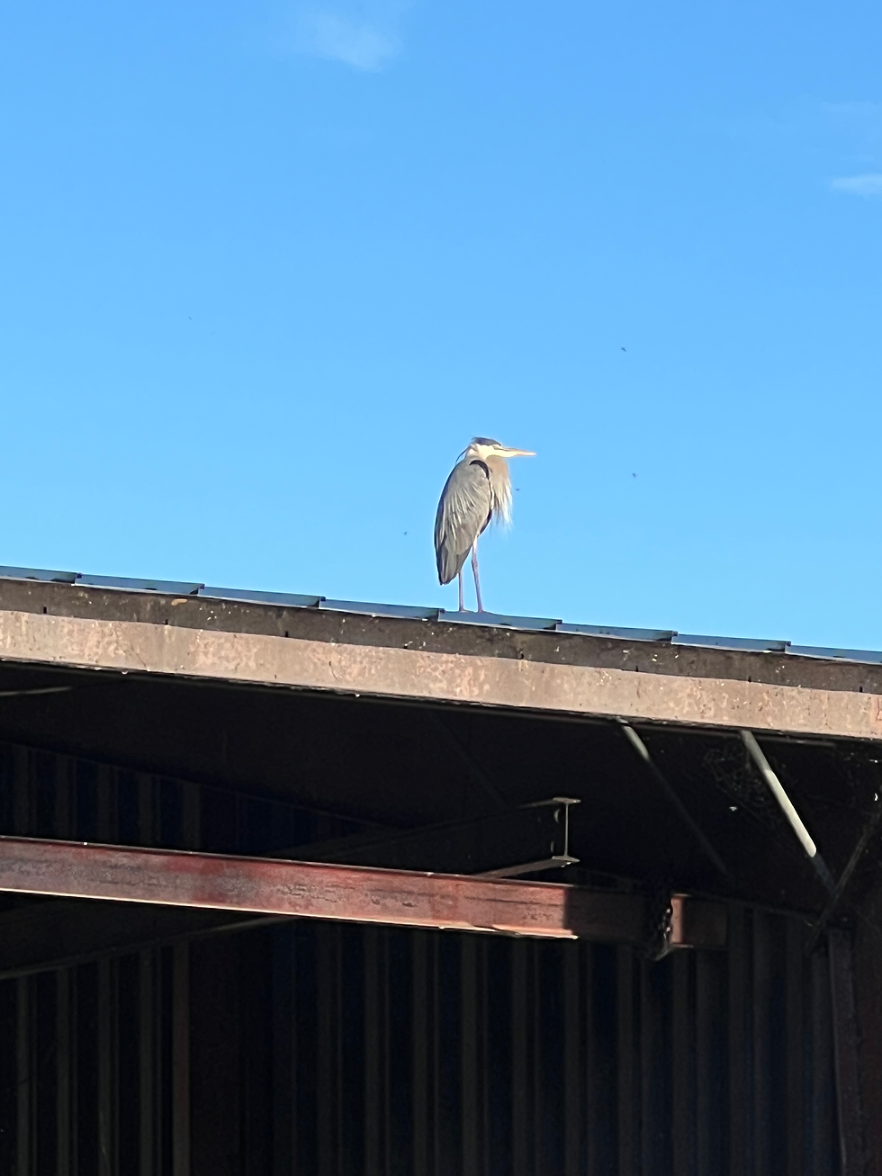
We found a new floating dock at Cape Vincent with two nice couples also tied up there. There was also a beautiful egret watching over us.
The next morning, after a lovely cup of brewed coffee at Cup of Joy, we discussed the Thousand Islands that lie immediately under the label Kingston on the map. (Actually, there are about 1800 islands, as you can see below the dog.)

Source: Cup of Joy
Our friends on the dock wanted to introduce us to the cruising grounds of the Thousand Islands.


Our electronic charts served us really well because they could show us where we were in this field of islands, knobs, shoals and channels.

Going slowly was important! Besides, you could see some fascinating architecture.
One goal we have is to see the famous Boldt Castle, but these homes will have to do for today.

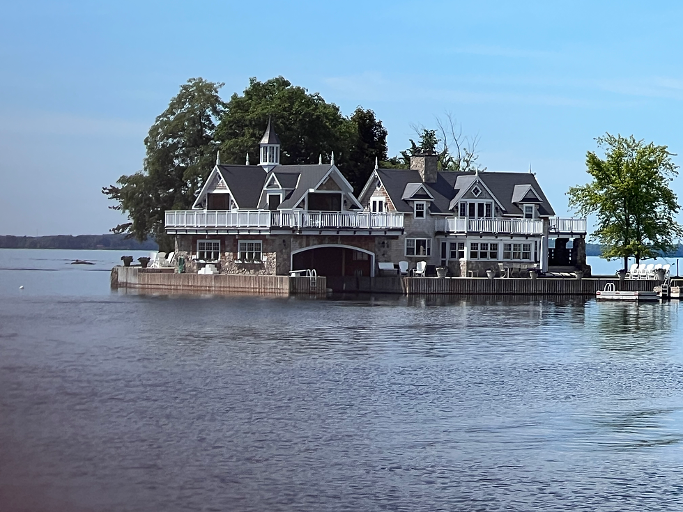
Remember that there's no threat of sea level rise here if that is a concern of yours. You can see that having a boat house or even a boat garage is a nice thing to have.
We are anchored at Canoe Point at the east end of Grindstone Island in the US Thousand Islands.
Today is Fathers' Day. Happy Fathers' Day!
Cheers,
Brio
Comments